
New FEMA maps mean many home and business owners in the commonwealth must either pay millions of dollars for renovations or shell out for flood insurance premiums that reach beyond $30,000 a year.

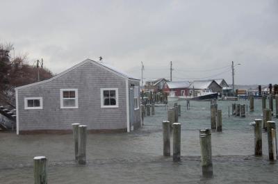
Nearly a year after Hurricane Sandy battered beaches, bluffs and docks from Aquinnah to Oak Bluffs, some towns are still waiting for federal funding for repairs.

The Federal Emergency Management Agency has released updated preliminary floodplain maps that predict increased flooding in coastal areas during northeasters, gales and other strong storms. The maps are the first significant update since the mapping program began in the 1980s and are expected to directly affect federal flood insurance premiums for towns and counties, as well as mortgage programs for some homeowners.
The Edgartown fire department has received a grant of more than $475,000 from the Federal Emergency Management Agency. The money will go toward upgrading the current cardiac monitoring equipment for all of the Island emergency medical services. The ambulances will now be supplied with advanced cardiac defibrillator monitors, he said, which will assist in transmitting patients who are having active heart attacks.

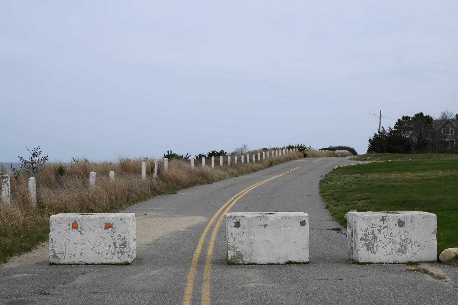
During a sunny-day tour of two areas on the Vineyard that have been hit hard by coastal erosion in the past year, Cong. William Keating encouraged a small group of public officials Thursday to press for federal funds for repairs — although he had no sunny promises about the outcome.
As the northeast continues to recover from Hurricane Sandy’s historic destruction two weeks ago, federal and state disaster relief officials visited the Vineyard on Thursday to assess damages and help begin the reimbursement process for damages to town property sustained during the storm.
Initial estimates to town and county owned coastlines and property Island-wide swelled to over $14.2 million.