

Liz Durkee

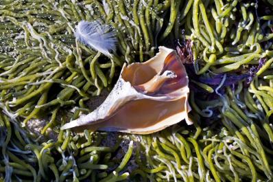
Clam chowder, bay scallops, fried oysters. Wampum bracelets. Shellfish are the grand bounty of the soft, sparkling salt ponds that ring the Island shore. We’d be hard pressed to find a local cultural symbol more significant than the water-worn purple and white quahaug shell. Purple — the Island color.

The Road to Sagarmatha, by Adam Wilson, Xlibris Corporation, Indianapolis, IN 2011, 284 pages, hardcover, $29.99.

Humans are not the boss of nature. Just ask the residents of western Massachusetts, Joplin, Missouri, or Japan. On the Vineyard we are at the constant mercy of wind, waves, storms and tides. Someone once said that when land and water wrestle, water always wins. That’s why it was refreshing to hear talk, at an erosion control workshop on the Island last week, of erosion management as opposed to erosion control.
One day last month close to five inches of rain fell on Martha’s Vineyard. In Chilmark alone it caused a five-foot wide, four-foot deep sinkhole on State Road, the collapse of a two culverts and the dirt road to Lucy Vincent Beach, the collapse of an old granite bridge and the closure of South Road near the Allen Farm due to an impassable puddle.
Suddenly it’s flooding everywhere, all over the world — and it’s no fluke.

Climate change is complicated; sea level rise is not. We live on an Island — a glorified sandbar — and the sea is closing in on us. It is rising much faster than anticipated. In the last century sea level rose by about a foot. In this century, due to human-induced global warming, it is expected to rise at least five feet, according to a new report by the international Arctic Monitoring and Assessment Program.
Caleb’s Crossing, By Geraldine Brooks, Viking, 2011, Hardcover, 320 Pages, $26.95, in bookstores May 3.