
Nature & Science
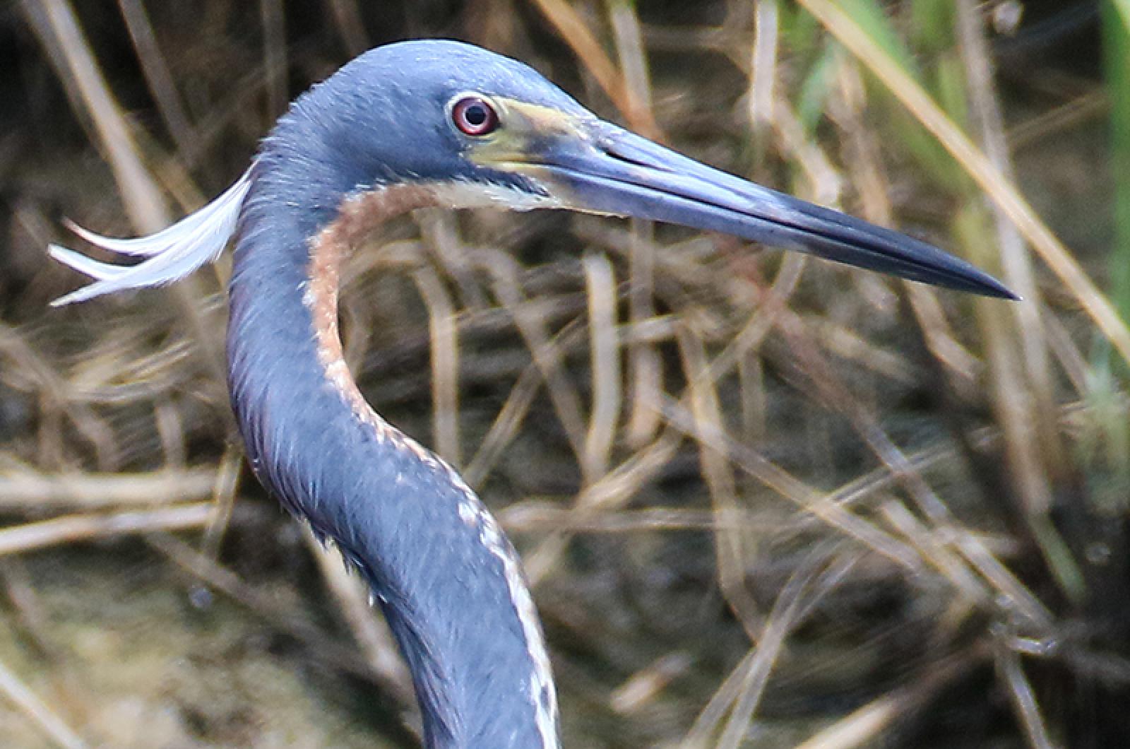
The northern most part of Oak Bluffs sticks into Nantucket Sound like a big thumb. There is a swift current moving in the waters off East Chop Beach Club and the Oak Bluffs Steamship Authority wharf. Swimming in this current are many kinds of fish, large and small. It is a fish highway, with schools of bait crisscrossing the water.

The Vineyard Conservation Society, an organization charged with promoting environmental advocacy and education, will hold its annual meeting Wednesday at the Wakeman Conservation Center in Vineyard Haven. Members will elect a new set of officers and hear presentations on rising sea level and moth and insect habitats on the Island.
We had a wet spring. June has been extremely wet and we are still nine days from the last day of the month.

The Federal Emergency Management Agency has released updated preliminary floodplain maps that predict increased flooding in coastal areas during northeasters, gales and other strong storms. The maps are the first significant update since the mapping program began in the 1980s and are expected to directly affect federal flood insurance premiums for towns and counties, as well as mortgage programs for some homeowners.

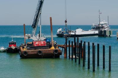
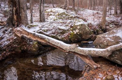
The breach at Norton Point, with its ever-shifting inlet, dramatic changes in currents and resulting severe erosion, has been billed as “one of the most dynamic coastal systems in Massachusetts.”
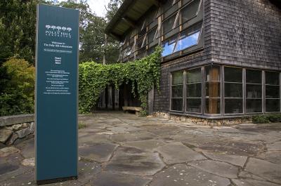
Polly Hill’s vision of growing an arboretum began in 1957 and the 70-acre garden that is her legacy first opened to the public 15 years ago. The mission of the Polly Hill Arboretum is simple; to share plant knowledge with students of all ages. Polly’s voice is still sometimes heard on the local NPR station saying, “Educate yourself. Learn. That’s the fun. The learning is the fun.”
Almanac
A comprehensive guide to weather and tides on the Island.
![]()
Vineyard Gardener
I guess this past week weather-wise is called a January thaw. We did not really experience it the last several years as December was unseasonably warm.
Farm & Field
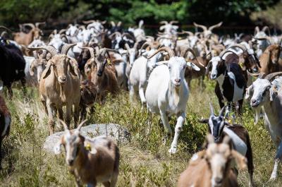
Beige and brown and tan and black, with horns spiraled or semicircular or in undulating waves, a legion of goats marched up the hill toward us, bleating in anticipation of fresh grass and leaves.